Coastal Ocean Monitoring Center, National Cheng Kung University (COMC, NCKU)
Shipborne Automatic Marine Meteorological Observation System
1. Overview
Collecting meteorological data in open ocean areas is a challenging task and plays a critical role in weather forecasting. Currently, satellite observations are widely used; however, ground-truth data are still required for calibration and validation. Among various in-situ observation platforms, data buoys are commonly deployed in nearshore and offshore regions and play an important role in marine meteorological observation. To obtain more extensive coverage of marine meteorological data, attention has turned to ships, which are constantly present across the world’s oceans. If ships can be utilized as ocean observation platforms, they provide a major advantage in understanding the marine environment and improving weather prediction accuracy. Ships navigating across global oceans participate in an international program established by the World Meteorological Organization (WMO) known as the Voluntary Observing Ships (VOS) Program, in which they transmit meteorological observations for global weather services. To enhance the collection and transmission of marine meteorological data from ships, a Shipborne Automatic Marine Meteorological Observation System has been developed. This system is installed on ships and integrates data compression, satellite communication, data visualization, and system management technologies to provide real-time meteorological information to the ship’s bridge for display and operational use. Transmit observation data to the Central Weather Administration (CWA) to increase surface-level marine monitoring data for forecast calibration and validation.
The automatic shipborne marine meteorological observation system is a new onboard instrument designed to measure meteorological parameters such as wind speed, air pressure, air temperature, and humidity in real time. The advantages of the system are:
- Increases the frequency and reliability of shipborne meteorological reports, thereby improving forecast accuracy.
- Provides integrated meteorological information for ships, enhancing navigation safety.
- Automated observation improves data quality, reduces manual operations, and encourages shipping company participation.
Key Features:
- Fully automated and unmanned marine meteorological monitoring capability.
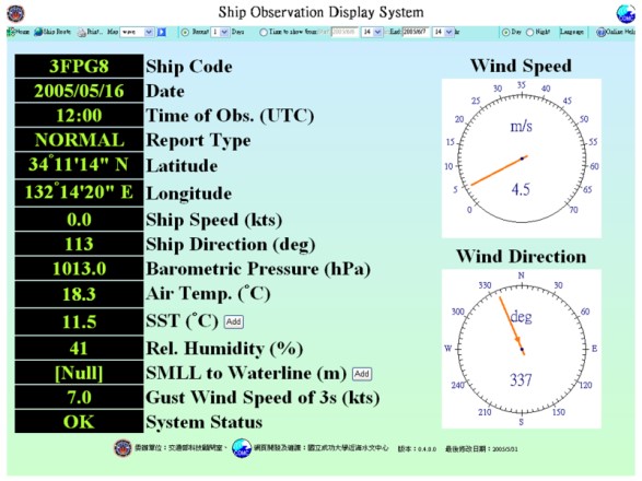
- Real-time wireless communication and data visualization both onboard and onshore.
- Compact size with self-sustaining power supply.
- Dynamic data correction based on ship motion.
- High durability for operation in harsh marine environments.
- Scalable system architecture for future expansion.
2. System Architecture and Specifications
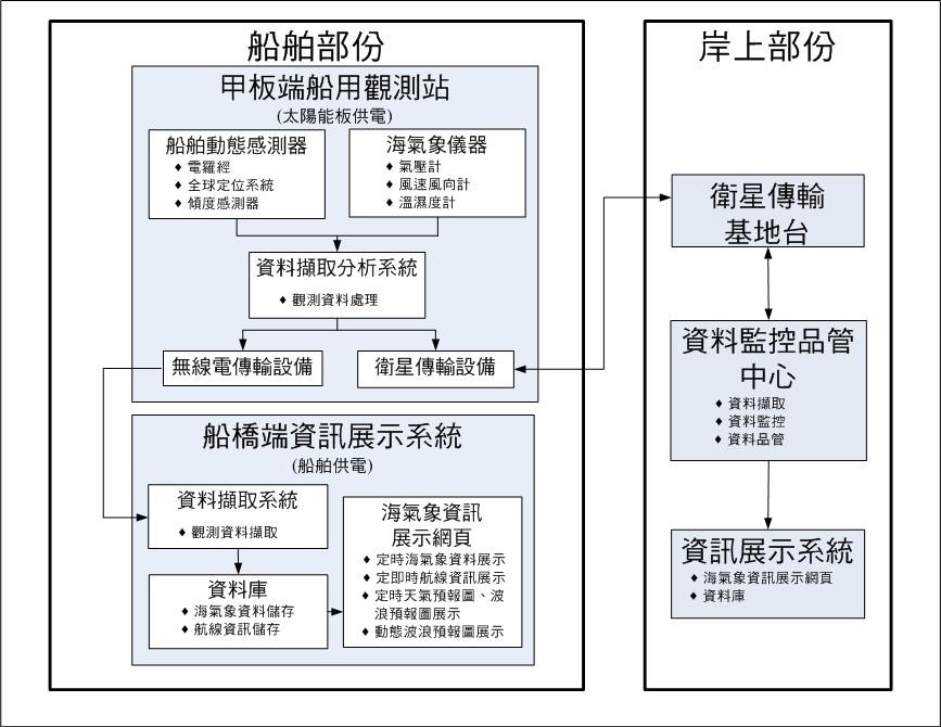
The Shipborne Marine Meteorological Observation System consists of two technical subsystems:
Onboard Real-Time Monitoring Subsystem: Performs real-time measurements at sea and transmits the data to the Data Monitoring Center.
Onshore Data Management Subsystem: Conducts data quality control, database integration, and information dissemination at the Data Monitoring Center.
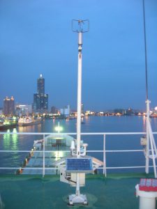
The onboard real-time monitoring subsystem is further divided into two parts: a sensor unit installed above the deck, and a data processing and display unit located on the ship’s bridge. These two units communicate via radio transmission, while the bridge unit connects with the onshore center via satellite communication. The sensor unit above the deck consists of meteorological sensors, a digital data acquisition and processing subsystem, a power supply system, and a data communication subsystem. Features of the Bridge Display System:
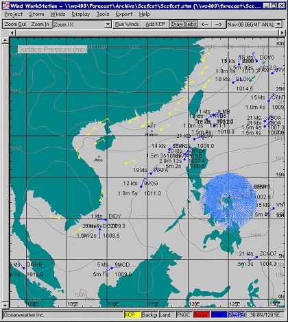
- Two-way satellite transmission, enabling the entire fleet to access real-time wave and weather forecast information.
- Industrial-grade touch-screen interface, designed for durability and user convenience.
- Integration of manual observation input and encoded report transmission functions in addition to automated observations.
3. Observation Principle
The system integrates meteorological instruments, including an anemometer, temperature–humidity sensor, and barometer, which are installed on the ship’s deck for data collection. Using the ship’s electronic compass, the system converts the observed wind speed and direction into true wind speed and true wind direction. The real-time data are transmitted via satellite communication to the onshore receiving station, where they undergo quality control and are stored in a database. At the same time, the bridge personnel can access the data locally, as the deck monitoring subsystem transmits the information via radio communication directly to the bridge display system.
4. Installation Process
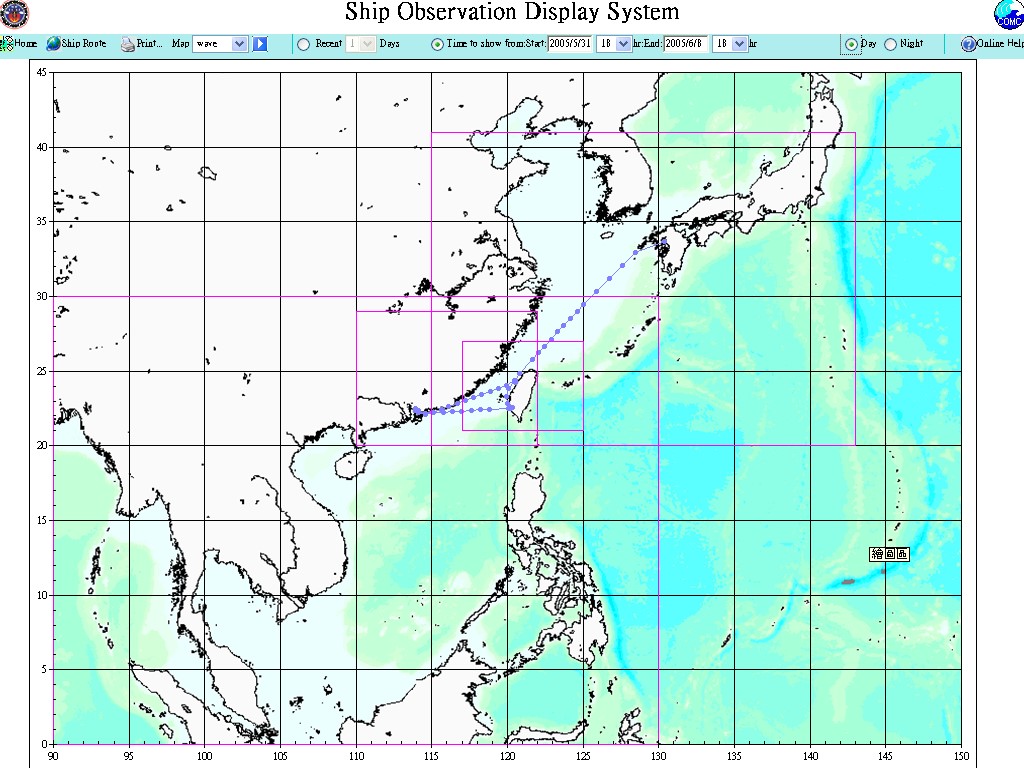
A mounting base was welded onto the deck of the cargo vessel to secure the automatic shipborne marine meteorological observation subsystem. The bridge display system was installed on the control console. This system has been deployed on the Ever Leader (operated by Evergreen Marine Corp.) and the YM Bright (operated by Yang Ming Marine Transport Corp.) for measurement operations.
The Ever Leader system was installed on September 25, 2004, and collected 6,484 observation records. The YM Bright system was installed on November 4, 2005, and collected 2,728 observation records.