Coastal Ocean Monitoring Center, National Cheng Kung University (COMC, NCKU)
Events
COMC Origins
1989 — 1997
1986 — Prof. Chia Chuen Kao installed a wave gauge at Taipower’s Hsingda Port coal unloading terminal, marking the beginning of in-situ wave measurement research in Taiwan.
1989 — Prof. Kao successfully deciphered the “black box” of commercial wave observation instruments, opening the door for Taiwan to develop independent marine observation technology. Commissioned by the CPC Corporation, Taiwan (CPC), he began monitoring marine meteorological data at the Yongan LNG Terminal in Kaohsiung.
1991 — With support from the National Science Council (NSC), three observation piles were established offshore of the northern breakwater at Taichung Harbor.
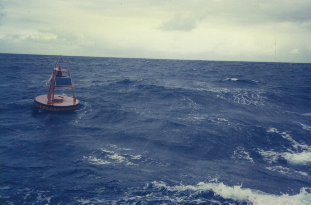
1994 — Commissioned by the Central Weather Bureau (now the Central Weather Administration), the COMC began independently designing and manufacturing marine meteorological data buoy systems.
1995 — The first domestically developed operational marine meteorological data buoy was deployed offshore of Taichung Harbor.
1996 — Following NOAA (U.S. National Oceanic and Atmospheric Administration) standards, the COMC developed a marine meteorological data quality control system and obtained software copyright for the buoy data processing program.
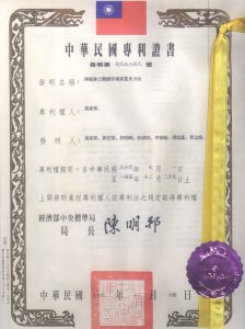
1997 — Received the Republic of China patent for the marine meteorological data buoy. Data buoys were deployed offshore of Hsinchu and Hualien, initiating operational ocean observation. Two data buoys were also exported to South Korea.
Establishment and Development
1998 — 2009
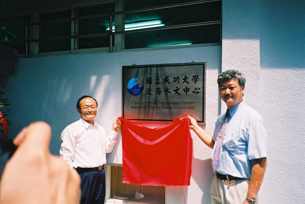
- 1998 — The Coastal Ocean Monitoring Center (COMC) was officially established. The Center began implementing the Phase I of the “Modernization of Taiwan’s Hydrological Observation Program”, approved by the Executive Yuan and commissioned by the Water Resources Bureau (now the Water Resources Agency), Ministry of Economic Affairs.
- 1999 — Deployed a data buoy in the Nansha Taiping Island waters (commissioned by the Ministry of Transportation and Communications) and another in the Longdong area of northeastern Taiwan (commissioned by the Tourism Bureau (now the Tourism Administration)). Hosted the second German-Chinese Joint Seminar on Recent Development in Coastal Engineering.
- 2000 — Introduced a new-generation ultrasonic water level observation system from the United States and completed the construction of the Chiku offshore observation piles. Obtained ISO 9001 international quality certification.
- 2002 — Completed the installation of 23 basic stations for the Coastal Hydrological Observation Network under the Water Resources Agency.
- 2003 — Successfully developed an automatic shipborne marine meteorological observation system.
- 2004 — Developed key technologies for sea surface current observation using navigation radar and assisted the Water Resources Agency in establishing the Coastal Hydro-Meteorological System.
- 2005 — Launched Phase II of the “Modernization of Taiwan’s Hydrological Observation Program.”
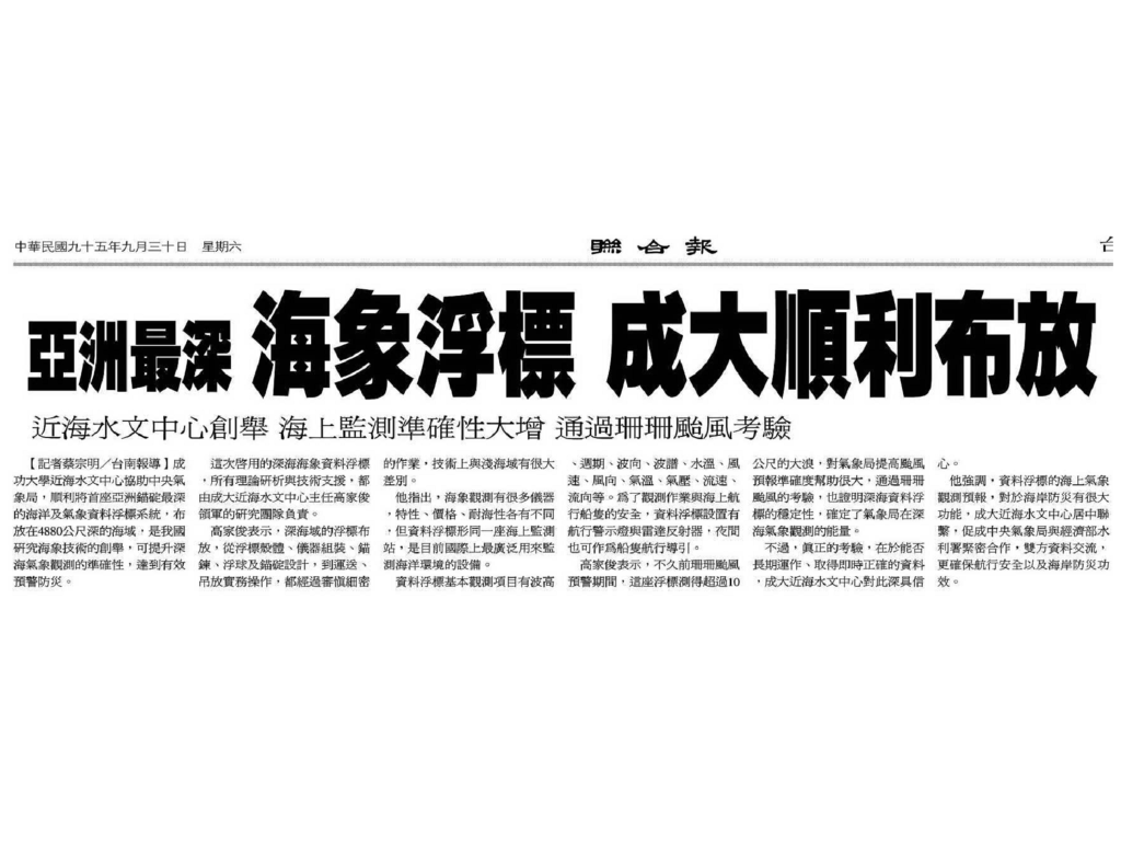
- 2006 — Assisted the Central Weather Bureau in deploying Taiwan’s first deep-sea data buoy, located at a depth of approximately 5,000 meters.
- 2009 — Deployed an operational deep-sea data buoy at a depth of about 5,000 meters off Taiwan’s eastern coast (commissioned by the CWB).
Technological Innovations
2010 — 2017
- 2010 — Prof. Ching-Jer Huang was appointed as the Director of the Center. The Long-term Hydrological Observation Development Plan of Taiwan (2010–2014) was launched. An operational deep-sea data buoy was deployed southwest of Kaohsiung at a depth of 2,600 m. A data buoy was established off Dongyin, Matsu — the northernmost operational marine observation site around Taiwan. In the same year, an operational swell forecasting model was developed.
- 2011 — Assisted the Water Resources Agency (WRA) in establishing the first long-term operational coastal hydrological radar observation station in Taiwan.
- 2013 — Developed real-time monitoring and forecasting technology for wave overtopping on seawalls.
- 2015 — Proposed a marine radar–based technique for monitoring seabed topography and developed a key GNSS-based technology for observing sea surface fluctuations using COMC’s domestically developed data buoys.
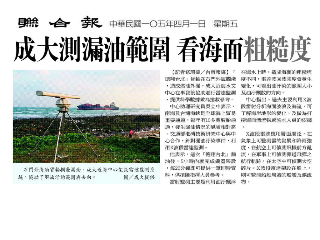
- 2016 — Developed a non-contact radar monitoring technology for detecting oil spills on the sea surface.
- 2017 — Proposed a GNSS-based wave measurement technology using COMC’s domestically developed data buoys.
Rapid Development
2018 — 2023
- 2018 — Celebrated the 20th anniversary of the Coastal Ocean Monitoring Center (COMC).
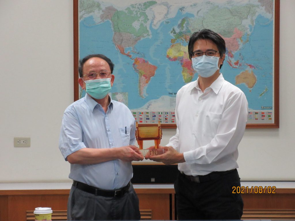
- 2021 — Prof. Dong-Jiing Doong from the Department of Hydraulic and Ocean Engineering was appointed as the Director of COMC.
- 2022 — The COMC continuously advanced its ocean environmental observation technologies and successfully obtained a new patent for a data buoy capable of continuous, real-time water level monitoring, marking a significant milestone.
- 2022 — Established Taiwan’s first operational radiation water monitoring buoy, enabling real-time observation of seawater radiation intensity.
- 2022 — Through innovative high-precision GNSS technology, successfully developed a high-accuracy seawater level monitoring buoy.